Former gravel pit
Introduction
The photograph on this page of Former gravel pit by Graham Horn as part of the Geograph project.
The Geograph project started in 2005 with the aim of publishing, organising and preserving representative images for every square kilometre of Great Britain, Ireland and the Isle of Man.

There are currently over 7.5m images from over 14,400 individuals and you can help contribute to the project by visiting https://www.geograph.org.uk
Former gravel pit
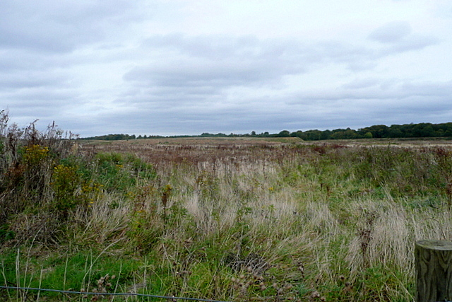
Image: © Graham Horn Taken: 30 Sep 2012
There is extensive sand and gravel extraction in this area, all the way up to the M40. This section is older and has been infilled.
Images are licensed for reuse under creativecommons.org/licenses/by-sa/2.0
Image Location
Latitude
51.587723
Longitude
-0.661904