Polytunnels
Introduction
The photograph on this page of Polytunnels by Graham Horn as part of the Geograph project.
The Geograph project started in 2005 with the aim of publishing, organising and preserving representative images for every square kilometre of Great Britain, Ireland and the Isle of Man.

There are currently over 7.5m images from over 14,400 individuals and you can help contribute to the project by visiting https://www.geograph.org.uk
Polytunnels
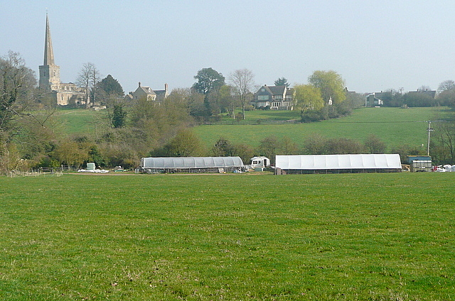
Image: © Graham Horn Taken: 24 Mar 2012
The polytunnels were only at the bottom of the pasture, by the stream. The land rises beyond to the village and the tall spire of St. Peter and St. Paul.
Images are licensed for reuse under creativecommons.org/licenses/by-sa/2.0
Image Location


Leaflet Map data © OpenStreetMap
Latitude
51.810434
Longitude
-1.386392