Broom Avenue
Introduction
The photograph on this page of Broom Avenue by Alan Walker as part of the Geograph project.
The Geograph project started in 2005 with the aim of publishing, organising and preserving representative images for every square kilometre of Great Britain, Ireland and the Isle of Man.

There are currently over 7.5m images from over 14,400 individuals and you can help contribute to the project by visiting https://www.geograph.org.uk
Broom Avenue
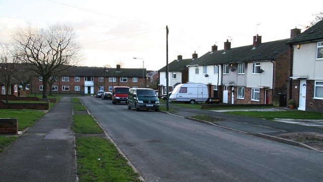
Image: © Alan Walker Taken: 22 Jan 2007
Broom Avenue was social housing although today a number of the properties have been purchased by their tenants. In front of the houses, facing, in the middle of the picture Broom Avenue bends 90° to the left to join Image at its junction with Image A few metres behind the viewpoint, on the right, is a Image to A61 the near Stretton. Behind the viewpoint the avenue follows an 'S' bend before resuming its northerly direction toward its junction with Hallgate Lane. To see a photograph of this section of Broom Avenue, click here: Image
Images are licensed for reuse under creativecommons.org/licenses/by-sa/2.0
Image Location
Latitude
53.157345
Longitude
-1.372303