Brookridge House, Henbury, Bristol
Introduction
The photograph on this page of Brookridge House, Henbury, Bristol by Jaggery as part of the Geograph project.
The Geograph project started in 2005 with the aim of publishing, organising and preserving representative images for every square kilometre of Great Britain, Ireland and the Isle of Man.

There are currently over 7.5m images from over 14,400 individuals and you can help contribute to the project by visiting https://www.geograph.org.uk
Brookridge House, Henbury, Bristol
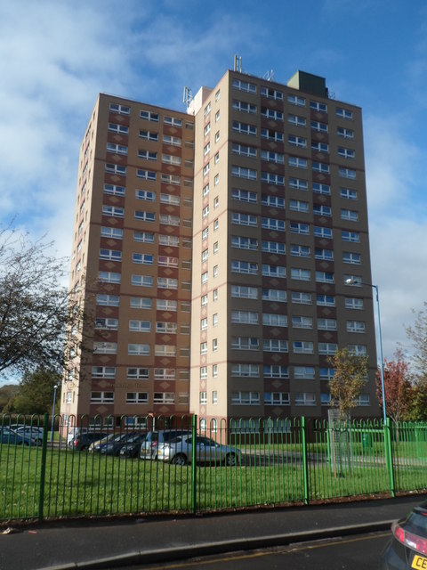
Image: © Jaggery Taken: 29 Oct 2012
15-storey block of flats on the corner of Crow Lane and Standfast Road. There is a similar high-rise block, Barlands House, 100 metres to the north.
Images are licensed for reuse under creativecommons.org/licenses/by-sa/2.0
Image Location
Latitude
51.508901
Longitude
-2.623142