Field alongside Rye Lane
Introduction
The photograph on this page of Field alongside Rye Lane by Marathon as part of the Geograph project.
The Geograph project started in 2005 with the aim of publishing, organising and preserving representative images for every square kilometre of Great Britain, Ireland and the Isle of Man.

There are currently over 7.5m images from over 14,400 individuals and you can help contribute to the project by visiting https://www.geograph.org.uk
Field alongside Rye Lane
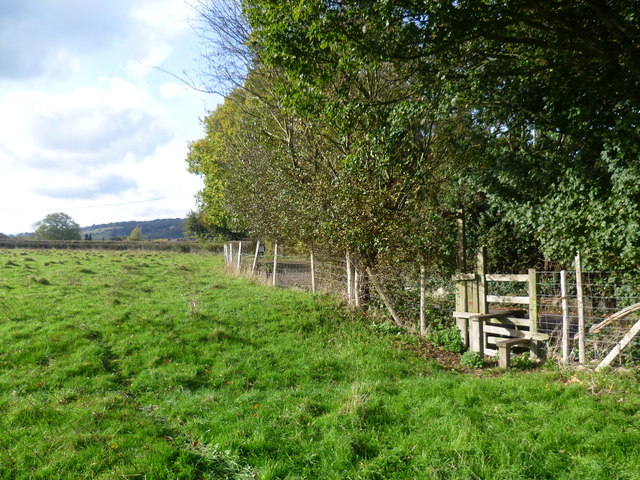
Image: © Marathon Taken: 30 Oct 2012
This footpath on the outskirts of Otford leads from one part of Rye Lane to the same road further south and avoids walking along the road. Rye Lane is seen here to the right and then bends to the left beyond the hedge. In the distance are the woods on the crest of the North Downs escarpment.
Images are licensed for reuse under creativecommons.org/licenses/by-sa/2.0
Image Location
Latitude
51.308
Longitude
0.180606