Housing on the southern side of Portreath
Introduction
The photograph on this page of Housing on the southern side of Portreath by Richard Law as part of the Geograph project.
The Geograph project started in 2005 with the aim of publishing, organising and preserving representative images for every square kilometre of Great Britain, Ireland and the Isle of Man.

There are currently over 7.5m images from over 14,400 individuals and you can help contribute to the project by visiting https://www.geograph.org.uk
Housing on the southern side of Portreath
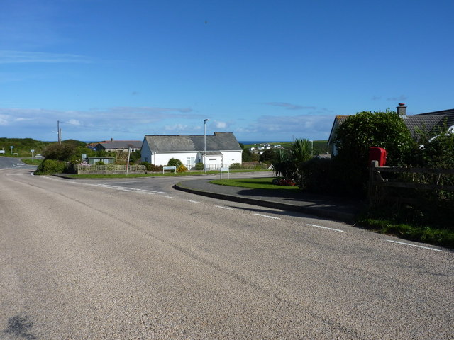
Image: © Richard Law Taken: 19 Sep 2012
The estate road is Porthvean. Further development is taking place just to the southeast of here Image, but is not yet mapped (in 2012)
Images are licensed for reuse under creativecommons.org/licenses/by-sa/2.0
Image Location


Leaflet Map data © OpenStreetMap
Latitude
50.25611
Longitude
-5.290042