Glyndyfrdwy schoolhouse
Introduction
The photograph on this page of Glyndyfrdwy schoolhouse by John Haynes as part of the Geograph project.
The Geograph project started in 2005 with the aim of publishing, organising and preserving representative images for every square kilometre of Great Britain, Ireland and the Isle of Man.

There are currently over 7.5m images from over 14,400 individuals and you can help contribute to the project by visiting https://www.geograph.org.uk
Glyndyfrdwy schoolhouse
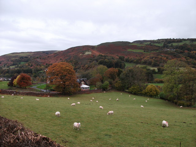
Image: © John Haynes Taken: 30 Oct 2012
The school is hidden behind the autumnal oak tree.
Images are licensed for reuse under creativecommons.org/licenses/by-sa/2.0
Image Location


Leaflet Map data © OpenStreetMap
Latitude
52.974689
Longitude
-3.260418