The Bandstand on Arnold Circus
Introduction
The photograph on this page of The Bandstand on Arnold Circus by Des Blenkinsopp as part of the Geograph project.
The Geograph project started in 2005 with the aim of publishing, organising and preserving representative images for every square kilometre of Great Britain, Ireland and the Isle of Man.

There are currently over 7.5m images from over 14,400 individuals and you can help contribute to the project by visiting https://www.geograph.org.uk
The Bandstand on Arnold Circus
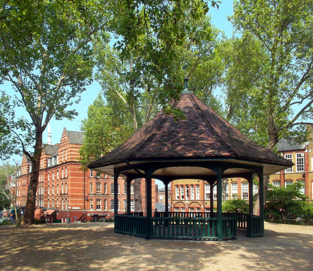
Image: © Des Blenkinsopp Taken: 23 May 2012
Arnold Circus is at the centre of the Boundary Estate, built 1890-1900, which replaced a notorious slum district. It is thought to be the first example of a local authority housing scheme in the country. Wikipedia has a full history http://en.wikipedia.org/wiki/Boundary_Estate which doesn't however reveal who Arnold was.
Images are licensed for reuse under creativecommons.org/licenses/by-sa/2.0
Image Location
Latitude
51.525878
Longitude
-0.074982