Ovenden Road near Claypit Shaw
Introduction
The photograph on this page of Ovenden Road near Claypit Shaw by Marathon as part of the Geograph project.
The Geograph project started in 2005 with the aim of publishing, organising and preserving representative images for every square kilometre of Great Britain, Ireland and the Isle of Man.

There are currently over 7.5m images from over 14,400 individuals and you can help contribute to the project by visiting https://www.geograph.org.uk
Ovenden Road near Claypit Shaw
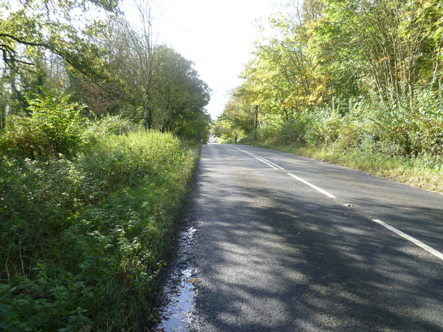
Image: © Marathon Taken: 30 Oct 2012
Ovenden Road changes from a fairly quiet country lane at the bottom of Sundridge Hill to become a busy road as it approaches the Chevening cross roads. By now it has become the B2211. This is looking away from the crossroads. Claypit Shaw is on the left.
Images are licensed for reuse under creativecommons.org/licenses/by-sa/2.0
Image Location
Latitude
51.291456
Longitude
0.136506