Hadrian's Wall and its north defensive ditch east of Willowford Farm
Introduction
The photograph on this page of Hadrian's Wall and its north defensive ditch east of Willowford Farm by Mike Quinn as part of the Geograph project.
The Geograph project started in 2005 with the aim of publishing, organising and preserving representative images for every square kilometre of Great Britain, Ireland and the Isle of Man.

There are currently over 7.5m images from over 14,400 individuals and you can help contribute to the project by visiting https://www.geograph.org.uk
Hadrian's Wall and its north defensive ditch east of Willowford Farm
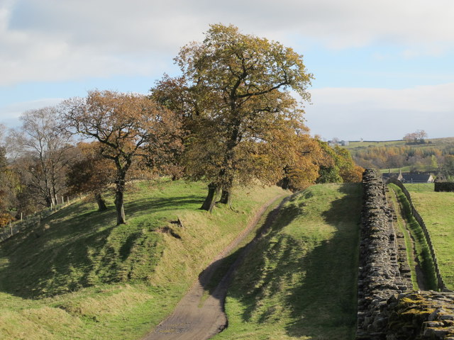
Image: © Mike Quinn Taken: 27 Oct 2012
The access track for the farm runs in the ditch here.
Images are licensed for reuse under creativecommons.org/licenses/by-sa/2.0
Image Location
Latitude
54.991405
Longitude
-2.585431