Lake by the A45
Introduction
The photograph on this page of Lake by the A45 by Michael Trolove as part of the Geograph project.
The Geograph project started in 2005 with the aim of publishing, organising and preserving representative images for every square kilometre of Great Britain, Ireland and the Isle of Man.

There are currently over 7.5m images from over 14,400 individuals and you can help contribute to the project by visiting https://www.geograph.org.uk
Lake by the A45
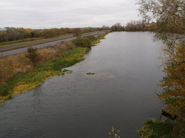
Image: © Michael Trolove Taken: 28 Oct 2012
A lake constructed after the extraction of sand and gravel near Rushden and Higham Ferrers in the Nene Valley.
Images are licensed for reuse under creativecommons.org/licenses/by-sa/2.0
Image Location
Latitude
52.309978
Longitude
-0.605763