Worlds End Lane
Introduction
The photograph on this page of Worlds End Lane by Marathon as part of the Geograph project.
The Geograph project started in 2005 with the aim of publishing, organising and preserving representative images for every square kilometre of Great Britain, Ireland and the Isle of Man.

There are currently over 7.5m images from over 14,400 individuals and you can help contribute to the project by visiting https://www.geograph.org.uk
Worlds End Lane
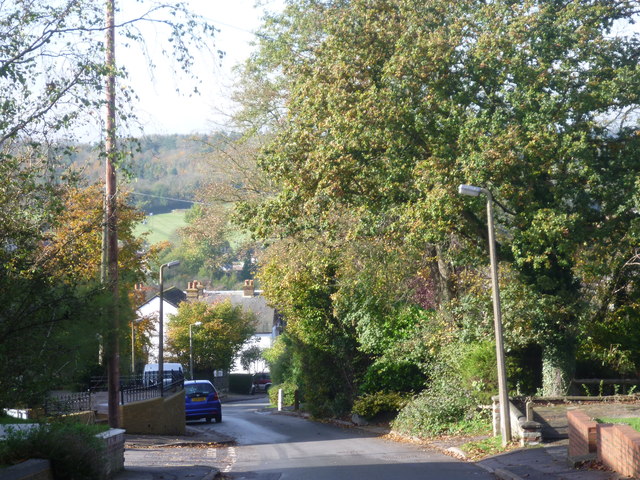
Image: © Marathon Taken: 30 Oct 2012
Chelsfield is one of the more attractive parts of suburbia. This is looking down Worlds End Lane by its junction with Woodlands Road. The A21 runs through the bottom of the valley while Whitelands Wood is on the other side. Whitelands Wood is part of the High Elms Estate.
Images are licensed for reuse under creativecommons.org/licenses/by-sa/2.0
Image Location
Latitude
51.350353
Longitude
0.097166