East Saltdean
Introduction
The photograph on this page of East Saltdean by Simon Carey as part of the Geograph project.
The Geograph project started in 2005 with the aim of publishing, organising and preserving representative images for every square kilometre of Great Britain, Ireland and the Isle of Man.

There are currently over 7.5m images from over 14,400 individuals and you can help contribute to the project by visiting https://www.geograph.org.uk
East Saltdean
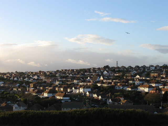
Image: © Simon Carey Taken: 27 Oct 2012
Viewed from Telscombe Tye and accentuating the layout of the suburb where the roads have generally followed the contour line. This part of Saltdean is part of Telscombe parish and local council as opposed to the rest that lies within the borough of Brighton. and was the last part to be fully developed when the remainder of the empty plots was built upon in the 1960s and 70s.
Images are licensed for reuse under creativecommons.org/licenses/by-sa/2.0
Image Location
Latitude
50.801868
Longitude
-0.027828