Bannings Vale, Saltdean
Introduction
The photograph on this page of Bannings Vale, Saltdean by Simon Carey as part of the Geograph project.
The Geograph project started in 2005 with the aim of publishing, organising and preserving representative images for every square kilometre of Great Britain, Ireland and the Isle of Man.

There are currently over 7.5m images from over 14,400 individuals and you can help contribute to the project by visiting https://www.geograph.org.uk
Bannings Vale, Saltdean
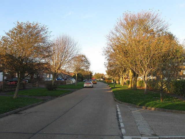
Image: © Simon Carey Taken: 27 Oct 2012
The main arterial road for eastern Saltdean that runs along the length of what was Bannings Bottom. The road was laid out in the 1920s and was lined with trees thougha fair number failed to survive due to the then exposed nature of the terrain.
Images are licensed for reuse under creativecommons.org/licenses/by-sa/2.0
Image Location
Latitude
50.804587
Longitude
-0.023739