Stag Lane, The Swillett
Introduction
The photograph on this page of Stag Lane, The Swillett by Jonathan Billinger as part of the Geograph project.
The Geograph project started in 2005 with the aim of publishing, organising and preserving representative images for every square kilometre of Great Britain, Ireland and the Isle of Man.

There are currently over 7.5m images from over 14,400 individuals and you can help contribute to the project by visiting https://www.geograph.org.uk
Stag Lane, The Swillett
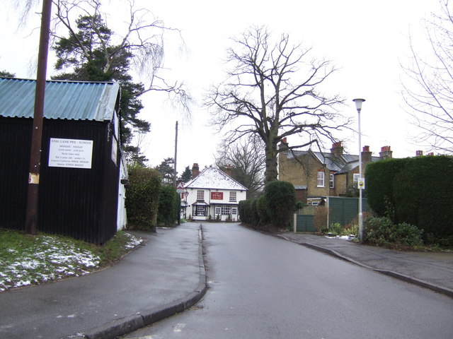
Image: © Jonathan Billinger Taken: 24 Jan 2007
This was an old country lane that couldn't be widened as Chorleywood expanded to absorb the surrounding hamlets. The pub is at the end of the line of sight.
Images are licensed for reuse under creativecommons.org/licenses/by-sa/2.0
Image Location
Latitude
51.645536
Longitude
-0.526365