Forest Way crossing Herontye Drive
Introduction
The photograph on this page of Forest Way crossing Herontye Drive by Dave Spicer as part of the Geograph project.
The Geograph project started in 2005 with the aim of publishing, organising and preserving representative images for every square kilometre of Great Britain, Ireland and the Isle of Man.

There are currently over 7.5m images from over 14,400 individuals and you can help contribute to the project by visiting https://www.geograph.org.uk
Forest Way crossing Herontye Drive
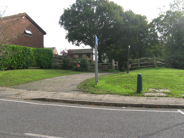
Image: © Dave Spicer Taken: 24 Oct 2012
Forest Way is 10 mile path running from East Grinstead to Groombridge over the dismantled rail line and part of Cycle Route 21.
Images are licensed for reuse under creativecommons.org/licenses/by-sa/2.0
Image Location
Latitude
51.121091
Longitude
0.001169