Kensington, The Champion
Introduction
The photograph on this page of Kensington, The Champion by Mike Faherty as part of the Geograph project.
The Geograph project started in 2005 with the aim of publishing, organising and preserving representative images for every square kilometre of Great Britain, Ireland and the Isle of Man.

There are currently over 7.5m images from over 14,400 individuals and you can help contribute to the project by visiting https://www.geograph.org.uk
Kensington, The Champion
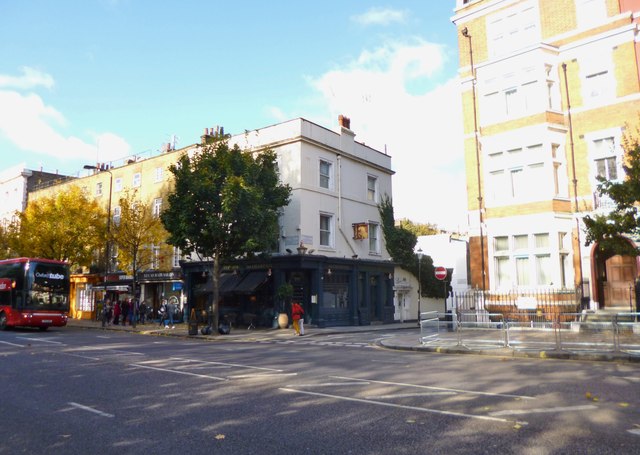
Image: © Mike Faherty Taken: 27 Oct 2012
Pub at the corner of Wellington Terrace and Ossington Street; bar left, eating and drinking areas right; old floor tiles, open fireplaces, some exposed brickwork, dark colours, background music, basement and garden. Cask ales on offer at my visit: Adnams Broadside, Itchen Valley Junga, Nicholson's Pale, Windsor & Eton Knight of the Garter, Wychwood Hobgoblin. For some customer comments, see http://www.beerintheevening.com/pubs/s/21/2119/Champion/Notting_Hill
Images are licensed for reuse under creativecommons.org/licenses/by-sa/2.0
Image Location
Latitude
51.509941
Longitude
-0.192383