Sidney Gale House
Introduction
The photograph on this page of Sidney Gale House by John Stephen as part of the Geograph project.
The Geograph project started in 2005 with the aim of publishing, organising and preserving representative images for every square kilometre of Great Britain, Ireland and the Isle of Man.

There are currently over 7.5m images from over 14,400 individuals and you can help contribute to the project by visiting https://www.geograph.org.uk
Sidney Gale House
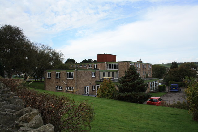
Image: © John Stephen Taken: 19 Oct 2012
Sidney Gale house viewed from Sea Road South. It is a local authority run nursing home.
Images are licensed for reuse under creativecommons.org/licenses/by-sa/2.0
Image Location
Latitude
50.724174
Longitude
-2.756608