Church Street
Introduction
The photograph on this page of Church Street by John Stephen as part of the Geograph project.
The Geograph project started in 2005 with the aim of publishing, organising and preserving representative images for every square kilometre of Great Britain, Ireland and the Isle of Man.

There are currently over 7.5m images from over 14,400 individuals and you can help contribute to the project by visiting https://www.geograph.org.uk
Church Street
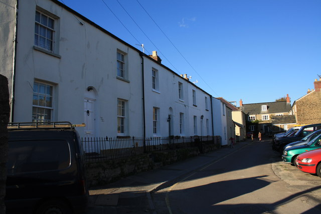
Image: © John Stephen Taken: 14 Oct 2012
View along Church Street from its junction with South Mill Lane. Church street turns through 90 degrees here from roughly west-east around the corner of the house on the extreme left edge to south-north along this terrace. Running across at the end of the road is Folly Mill Lane. South Mill Lane is behind the camera.
Images are licensed for reuse under creativecommons.org/licenses/by-sa/2.0
Image Location
Latitude
50.731729
Longitude
-2.756447