Babbs Meadow Footbridge
Introduction
The photograph on this page of Babbs Meadow Footbridge by Sue Adair as part of the Geograph project.
The Geograph project started in 2005 with the aim of publishing, organising and preserving representative images for every square kilometre of Great Britain, Ireland and the Isle of Man.

There are currently over 7.5m images from over 14,400 individuals and you can help contribute to the project by visiting https://www.geograph.org.uk
Babbs Meadow Footbridge
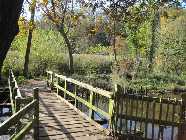
Image: © Sue Adair Taken: 27 Oct 2012
Footbridge over the River Dibbin linking Babbs Meadow with Otters Tunnel on the footpath around Brotherton Park and Dibbinsdale Local Nature Reserve.
Images are licensed for reuse under creativecommons.org/licenses/by-sa/2.0
Image Location
Latitude
53.336368
Longitude
-2.99052