Footbridge over River Dibbin
Introduction
The photograph on this page of Footbridge over River Dibbin by Sue Adair as part of the Geograph project.
The Geograph project started in 2005 with the aim of publishing, organising and preserving representative images for every square kilometre of Great Britain, Ireland and the Isle of Man.

There are currently over 7.5m images from over 14,400 individuals and you can help contribute to the project by visiting https://www.geograph.org.uk
Footbridge over River Dibbin
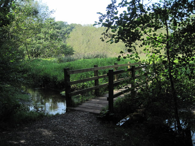
Image: © Sue Adair Taken: 6 Sep 2012
Footbridge over the River Dibbin from Marfords Wood coppice adjacent to Bromborough Rake station. Brotherton Park and Dibbinsdale Local Nature Reserve comprises of 32 hectares (81.1 acres) of semi-natural countryside along the river valley of the Dibbin. Many different wildlife habitats are represented within the reserve including ancient woodland, willow carr, reed beds and wild flower meadows.
Images are licensed for reuse under creativecommons.org/licenses/by-sa/2.0
Image Location
Latitude
53.329705
Longitude
-2.991867