The Sixmilewater, Ballyclare (3)
Introduction
The photograph on this page of The Sixmilewater, Ballyclare (3) by Albert Bridge as part of the Geograph project.
The Geograph project started in 2005 with the aim of publishing, organising and preserving representative images for every square kilometre of Great Britain, Ireland and the Isle of Man.

There are currently over 7.5m images from over 14,400 individuals and you can help contribute to the project by visiting https://www.geograph.org.uk
The Sixmilewater, Ballyclare (3)
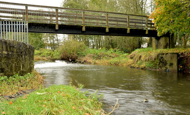
Image: © Albert Bridge Taken: 28 Oct 2012
The Sixmilewater, looking upstream, beside the old mill race Image (just out of picture to the left). The footbridge connects Avondale Drive and the Mill Road. The river is not shown on the Google map – see the satellite photograph.
Images are licensed for reuse under creativecommons.org/licenses/by-sa/2.0
Image Location
Latitude
54.748993
Longitude
-6.000002