Southfleet Road
Introduction
The photograph on this page of Southfleet Road by Ian Capper as part of the Geograph project.
The Geograph project started in 2005 with the aim of publishing, organising and preserving representative images for every square kilometre of Great Britain, Ireland and the Isle of Man.

There are currently over 7.5m images from over 14,400 individuals and you can help contribute to the project by visiting https://www.geograph.org.uk
Southfleet Road
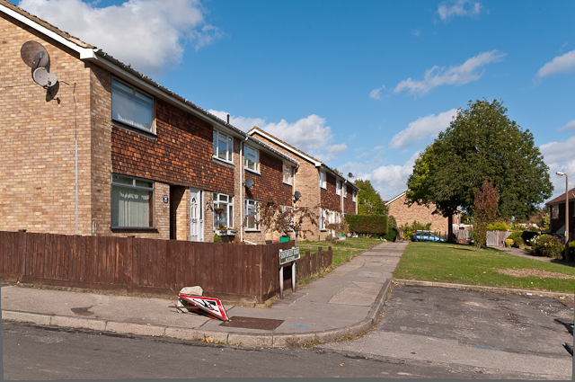
Image: © Ian Capper Taken: 16 Oct 2012
Part of the 1970s development of an area of open land between the former Borkwood Park School and Leamington Avenue.
Images are licensed for reuse under creativecommons.org/licenses/by-sa/2.0
Image Location
Latitude
51.364475
Longitude
0.087396