Fort View houses, Bassaleg
Introduction
The photograph on this page of Fort View houses, Bassaleg by Jaggery as part of the Geograph project.
The Geograph project started in 2005 with the aim of publishing, organising and preserving representative images for every square kilometre of Great Britain, Ireland and the Isle of Man.

There are currently over 7.5m images from over 14,400 individuals and you can help contribute to the project by visiting https://www.geograph.org.uk
Fort View houses, Bassaleg
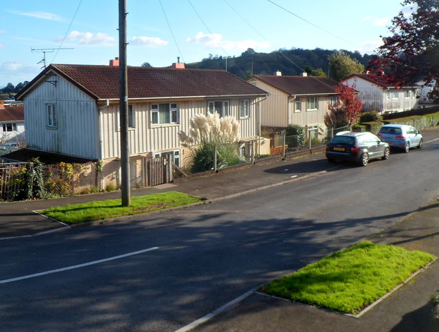
Image: © Jaggery Taken: 27 Oct 2012
Steel-framed houses in Fort View, viewed from the Laurel Road end. The Fort in question is this one. http://www.geograph.org.uk/photo/619433
Images are licensed for reuse under creativecommons.org/licenses/by-sa/2.0
Image Location
Latitude
51.578138
Longitude
-3.051252