The Sixmilewater, Ballyclare (1)
Introduction
The photograph on this page of The Sixmilewater, Ballyclare (1) by Albert Bridge as part of the Geograph project.
The Geograph project started in 2005 with the aim of publishing, organising and preserving representative images for every square kilometre of Great Britain, Ireland and the Isle of Man.

There are currently over 7.5m images from over 14,400 individuals and you can help contribute to the project by visiting https://www.geograph.org.uk
The Sixmilewater, Ballyclare (1)
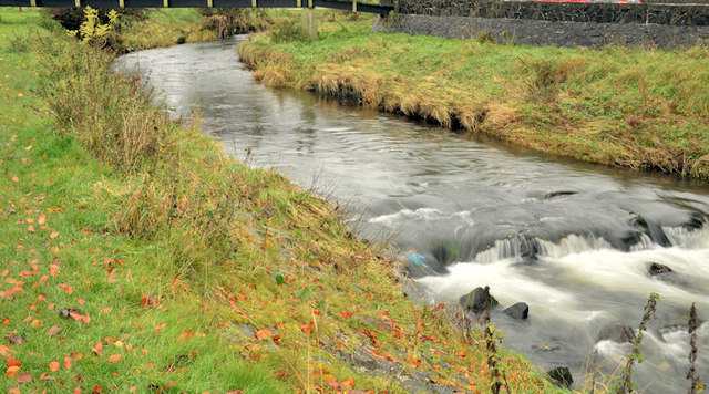
Image: © Albert Bridge Taken: 28 Oct 2012
The view upstream as the still-young Sixmilewater flows through the Sixmilewater Park on the western side of the Mill Road. Fairly heavy rain was bringing the last of the autumn leaves down. The river is not shown on the Google map – see the satellite photograph.
Images are licensed for reuse under creativecommons.org/licenses/by-sa/2.0
Image Location
Latitude
54.745569
Longitude
-6.00483