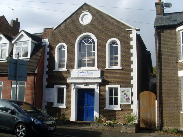
ChristChurch, Redbourn
Introduction
The photograph on this page of ChristChurch, Redbourn by David Hillas as part of the Geograph project.
The Geograph project started in 2005 with the aim of publishing, organising and preserving representative images for every square kilometre of Great Britain, Ireland and the Isle of Man.
There are currently over 7.5m images from over 14,400 individuals and you can help contribute to the project by visiting https://www.geograph.org.uk

Image: © David Hillas Taken: 13 Oct 2012
Situated in Fish Street, this Church dates from 1806 and was formerly Mount Zion Evangelical Church then Redbourn Baptist Church. It became known as ChristChurch in October 2007. Services take place here each Sunday at 10.30am with activities being held during the week. The postcode of this Church is AL3 7LP.

