Farmland, North Peacehaven
Introduction
The photograph on this page of Farmland, North Peacehaven by Simon Carey as part of the Geograph project.
The Geograph project started in 2005 with the aim of publishing, organising and preserving representative images for every square kilometre of Great Britain, Ireland and the Isle of Man.

There are currently over 7.5m images from over 14,400 individuals and you can help contribute to the project by visiting https://www.geograph.org.uk
Farmland, North Peacehaven
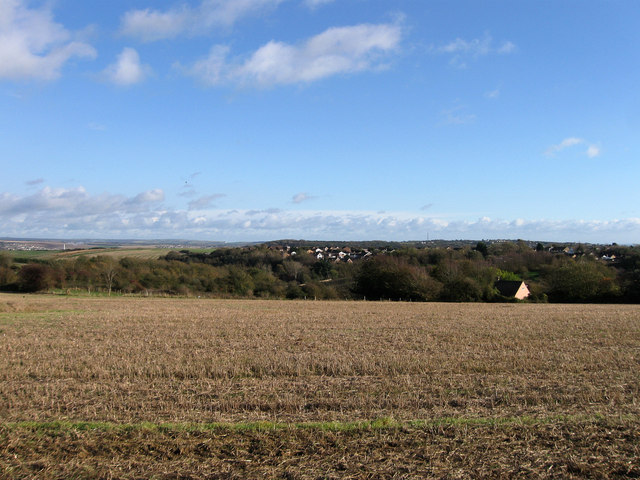
Image: © Simon Carey Taken: 27 Oct 2012
Viewed from Image and looking back towards the northern edge of Peacehaven over what was for many centuries sheep pasture. The land between Telscombe Road and The Outlook retains some of the original settler vibe that characterised much of the town from its founding in the 1920s to the early 1960s, namely unmade roads, sparse dwellings and many overgrown plots awaiting use. The area itself is not part of the new South Downs National Park which probably means that sometime in the future it is likely to be developed. For now one can enjoy the views, though whether the chimney of the newly built household waste disposal unit at Newhaven can be included is a matter for conjecture. For the record it is just visible on the left of the picture.
Images are licensed for reuse under creativecommons.org/licenses/by-sa/2.0
Image Location
Latitude
50.809449
Longitude
0.0023