A497 east of entrance to Penbryn Neuadd
Introduction
The photograph on this page of A497 east of entrance to Penbryn Neuadd by John Firth as part of the Geograph project.
The Geograph project started in 2005 with the aim of publishing, organising and preserving representative images for every square kilometre of Great Britain, Ireland and the Isle of Man.

There are currently over 7.5m images from over 14,400 individuals and you can help contribute to the project by visiting https://www.geograph.org.uk
A497 east of entrance to Penbryn Neuadd
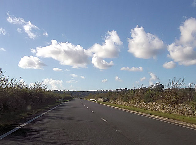
Image: © John Firth Taken: 20 Oct 2012
Penbryn Neuadd entrance is on right, whilst another farm entrance is directly opposite
Images are licensed for reuse under creativecommons.org/licenses/by-sa/2.0
Image Location


Leaflet Map data © OpenStreetMap
Latitude
52.900612
Longitude
-4.384993