The Martins, Telscombe Cliffs
Introduction
The photograph on this page of The Martins, Telscombe Cliffs by Simon Carey as part of the Geograph project.
The Geograph project started in 2005 with the aim of publishing, organising and preserving representative images for every square kilometre of Great Britain, Ireland and the Isle of Man.

There are currently over 7.5m images from over 14,400 individuals and you can help contribute to the project by visiting https://www.geograph.org.uk
The Martins, Telscombe Cliffs
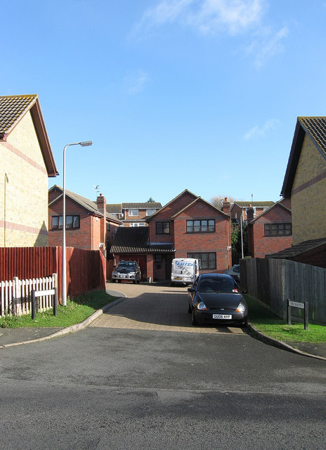
Image: © Simon Carey Taken: 27 Oct 2012
Small cul de sac squeezed between Kirby Drive and a small hillock known as Heathy Brow. The rise marks the old parochial boundary between Telscombe and Piddinghoe and the current one between the settlements of Telscombe Cliffs and Peacehaven.
Images are licensed for reuse under creativecommons.org/licenses/by-sa/2.0
Image Location
Latitude
50.804881
Longitude
-0.003999