Kirby Drive, Telscombe Cliffs
Introduction
The photograph on this page of Kirby Drive, Telscombe Cliffs by Simon Carey as part of the Geograph project.
The Geograph project started in 2005 with the aim of publishing, organising and preserving representative images for every square kilometre of Great Britain, Ireland and the Isle of Man.

There are currently over 7.5m images from over 14,400 individuals and you can help contribute to the project by visiting https://www.geograph.org.uk
Kirby Drive, Telscombe Cliffs
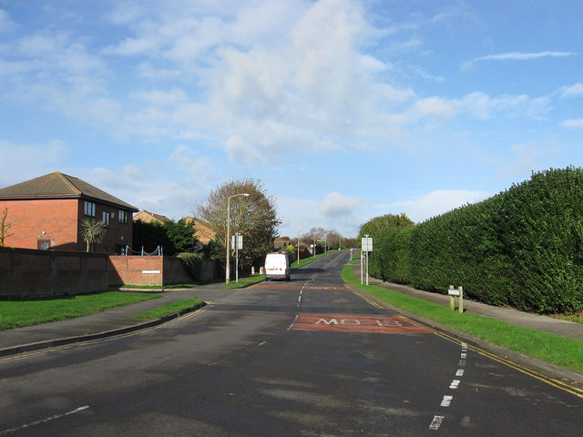
Image: © Simon Carey Taken: 27 Oct 2012
This part of the road was originally the northern end of Ambleside Avenue but was widened and given a new designation when the housing estate built round the road on land that once belonged to Kirby Farm was developed in the early 1980s. It is now the main arterial road for the estates at the northern end of Telscombe Cliffs and Peacehaven.
Images are licensed for reuse under creativecommons.org/licenses/by-sa/2.0
Image Location
Latitude
50.804888
Longitude
-0.004424