Manor Drive, Telscombe Cliffs
Introduction
The photograph on this page of Manor Drive, Telscombe Cliffs by Simon Carey as part of the Geograph project.
The Geograph project started in 2005 with the aim of publishing, organising and preserving representative images for every square kilometre of Great Britain, Ireland and the Isle of Man.

There are currently over 7.5m images from over 14,400 individuals and you can help contribute to the project by visiting https://www.geograph.org.uk
Manor Drive, Telscombe Cliffs
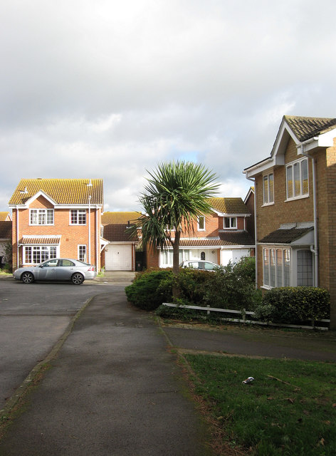
Image: © Simon Carey Taken: 27 Oct 2012
The cul de sac heads west off Ambleside Avenue and was developed in the 1980s when much of the neighbouring farmland was turned into housing estates.
Images are licensed for reuse under creativecommons.org/licenses/by-sa/2.0
Image Location
Latitude
50.802668
Longitude
-0.00608