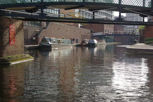
Oozells Street Loop
Introduction
The photograph on this page of Oozells Street Loop by Stephen McKay as part of the Geograph project.
The Geograph project started in 2005 with the aim of publishing, organising and preserving representative images for every square kilometre of Great Britain, Ireland and the Isle of Man.
There are currently over 7.5m images from over 14,400 individuals and you can help contribute to the project by visiting https://www.geograph.org.uk

Image: © Stephen McKay Taken: 21 Oct 2012
The original main line of the BCN (Birmingham Canal Navigations) was a contour canal designed by James Brindley; it was dramatically shortened between 1823 and 1838 when a new much straighter route was built. This left several loops which, unlike other locations where canals were straightened, survived because they served canalside industrial premises. The first such loop leaving Birmingham is Oozells Street and this is the entrance at the Old Turn; the loop now gives access to a boatyard and moorings.

