Cliff Gardens, Telscombe Cliffs
Introduction
The photograph on this page of Cliff Gardens, Telscombe Cliffs by Simon Carey as part of the Geograph project.
The Geograph project started in 2005 with the aim of publishing, organising and preserving representative images for every square kilometre of Great Britain, Ireland and the Isle of Man.

There are currently over 7.5m images from over 14,400 individuals and you can help contribute to the project by visiting https://www.geograph.org.uk
Cliff Gardens, Telscombe Cliffs
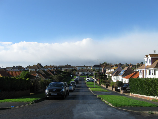
Image: © Simon Carey Taken: 27 Oct 2012
One of the original roads laid out by the Cavendish Land Company in the first decade of the 20th century. Viewed from its junction with Fairlight Avenue the road heads west then turns a right angle to head north to Grassmere Avenue. This shape was dictated by the then ownership of land by the building company who were unable to acquire a large neighbouring field called Portobello Furlong as it was owned by the coastguard.
Images are licensed for reuse under creativecommons.org/licenses/by-sa/2.0
Image Location
Latitude
50.796483
Longitude
-0.017837