SW edge of Little Mill
Introduction
The photograph on this page of SW edge of Little Mill by Jaggery as part of the Geograph project.
The Geograph project started in 2005 with the aim of publishing, organising and preserving representative images for every square kilometre of Great Britain, Ireland and the Isle of Man.

There are currently over 7.5m images from over 14,400 individuals and you can help contribute to the project by visiting https://www.geograph.org.uk
SW edge of Little Mill
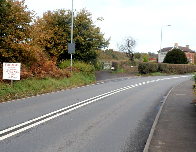
Image: © Jaggery Taken: 26 Oct 2012
The Little Mill boundary sign is a few metres behind the camera. Ahead, the A472 bends towards the centre of the village. A large red-on-white notice on the left announces fireworks on November 5th (in the grounds of the village hall http://www.geograph.org.uk/photo/3197555 ).
Images are licensed for reuse under creativecommons.org/licenses/by-sa/2.0
Image Location
Latitude
51.720676
Longitude
-2.98666