Kip Water
Introduction
The photograph on this page of Kip Water by Thomas Nugent as part of the Geograph project.
The Geograph project started in 2005 with the aim of publishing, organising and preserving representative images for every square kilometre of Great Britain, Ireland and the Isle of Man.

There are currently over 7.5m images from over 14,400 individuals and you can help contribute to the project by visiting https://www.geograph.org.uk
Kip Water
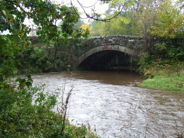
Image: © Thomas Nugent Taken: 17 Oct 2012
Swollen following a few days of heavy rain. The old bridge at Bridgend is in the background.
Images are licensed for reuse under creativecommons.org/licenses/by-sa/2.0
Image Location


Leaflet Map data © OpenStreetMap
Latitude
55.912667
Longitude
-4.860908