Houses, west end of Higher Brook Street
Introduction
The photograph on this page of Houses, west end of Higher Brook Street by Robin Stott as part of the Geograph project.
The Geograph project started in 2005 with the aim of publishing, organising and preserving representative images for every square kilometre of Great Britain, Ireland and the Isle of Man.

There are currently over 7.5m images from over 14,400 individuals and you can help contribute to the project by visiting https://www.geograph.org.uk
Houses, west end of Higher Brook Street
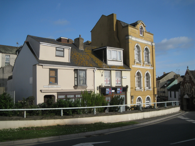
Image: © Robin Stott Taken: 6 May 2012
They overlook a busy road junction, part of the 1980s scheme to take A379 traffic out of the town centre.
Images are licensed for reuse under creativecommons.org/licenses/by-sa/2.0
Image Location
Latitude
50.547127
Longitude
-3.497315