East end of Salisbury Terrace
Introduction
The photograph on this page of East end of Salisbury Terrace by Robin Stott as part of the Geograph project.
The Geograph project started in 2005 with the aim of publishing, organising and preserving representative images for every square kilometre of Great Britain, Ireland and the Isle of Man.

There are currently over 7.5m images from over 14,400 individuals and you can help contribute to the project by visiting https://www.geograph.org.uk
East end of Salisbury Terrace
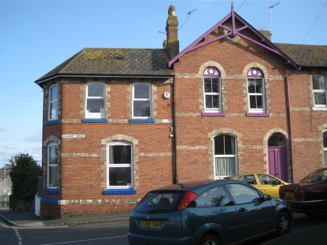
Image: © Robin Stott Taken: 6 May 2012
Polychrome brickwork and strong paint colours make an eye-catching building. The part on the left is the dental surgery seen in Image
Images are licensed for reuse under creativecommons.org/licenses/by-sa/2.0
Image Location
Latitude
50.548222
Longitude
-3.496079