BOF graffito, Winterbourne Road
Introduction
The photograph on this page of BOF graffito, Winterbourne Road by Robin Stott as part of the Geograph project.
The Geograph project started in 2005 with the aim of publishing, organising and preserving representative images for every square kilometre of Great Britain, Ireland and the Isle of Man.

There are currently over 7.5m images from over 14,400 individuals and you can help contribute to the project by visiting https://www.geograph.org.uk
BOF graffito, Winterbourne Road
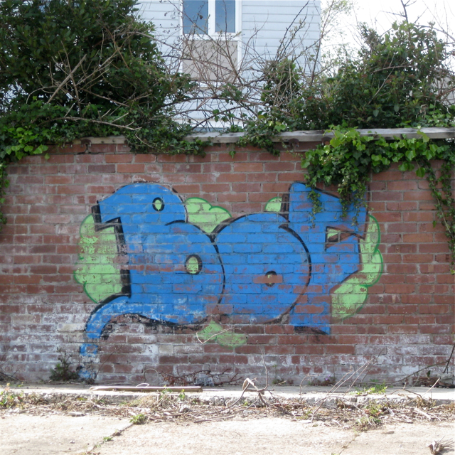
Image: © Robin Stott Taken: 6 May 2012
When my children were at secondary school through the nineties and noughties 'bof' (short for boffin, I believe) was a term of contempt for anyone who showed the least academic ability. This view is a puzzle; there may have been some demolition since the current satellite imagery.
Images are licensed for reuse under creativecommons.org/licenses/by-sa/2.0
Image Location
Latitude
50.549822
Longitude
-3.497542