Beaufort Crescent bus stop and shelter, Monkswood
Introduction
The photograph on this page of Beaufort Crescent bus stop and shelter, Monkswood by Jaggery as part of the Geograph project.
The Geograph project started in 2005 with the aim of publishing, organising and preserving representative images for every square kilometre of Great Britain, Ireland and the Isle of Man.

There are currently over 7.5m images from over 14,400 individuals and you can help contribute to the project by visiting https://www.geograph.org.uk
Beaufort Crescent bus stop and shelter, Monkswood
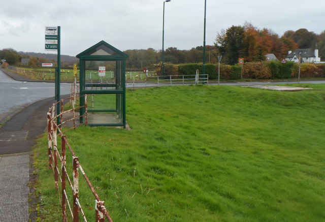
Image: © Jaggery Taken: 26 Oct 2012
The bus stop sign shows Beaufort Crescent, which is about 120 metres from the sign's location on the south side of the A472. The bus stop is on route 63 from Chepstow to Cwmbran via Shirenewton, Little Mill and Pontypool.
Images are licensed for reuse under creativecommons.org/licenses/by-sa/2.0
Image Location
Latitude
51.718541
Longitude
-2.951147