High Street Glynneath near a junction
Introduction
The photograph on this page of High Street Glynneath near a junction by Jaggery as part of the Geograph project.
The Geograph project started in 2005 with the aim of publishing, organising and preserving representative images for every square kilometre of Great Britain, Ireland and the Isle of Man.

There are currently over 7.5m images from over 14,400 individuals and you can help contribute to the project by visiting https://www.geograph.org.uk
High Street Glynneath near a junction
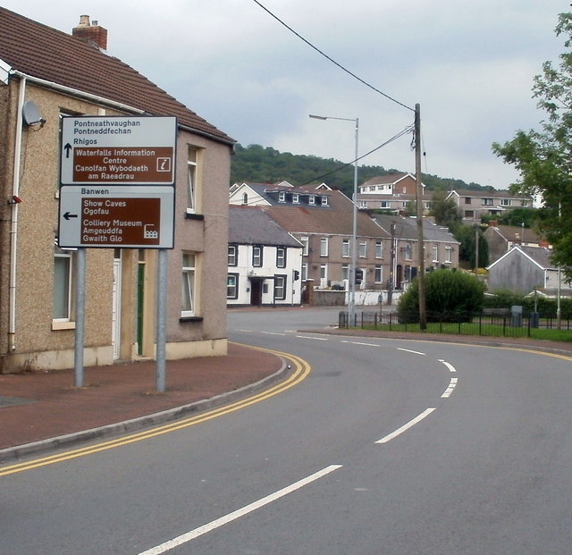
Image: © Jaggery Taken: 31 Jul 2011
Turn left ahead for Banwen, show caves and a colliery museum. Ahead for Pontneddfechan and the Waterfalls Information Centre.
Images are licensed for reuse under creativecommons.org/licenses/by-sa/2.0
Image Location
Latitude
51.747772
Longitude
-3.6168