North side of the B4242, Glynneath
Introduction
The photograph on this page of North side of the B4242, Glynneath by Jaggery as part of the Geograph project.
The Geograph project started in 2005 with the aim of publishing, organising and preserving representative images for every square kilometre of Great Britain, Ireland and the Isle of Man.

There are currently over 7.5m images from over 14,400 individuals and you can help contribute to the project by visiting https://www.geograph.org.uk
North side of the B4242, Glynneath
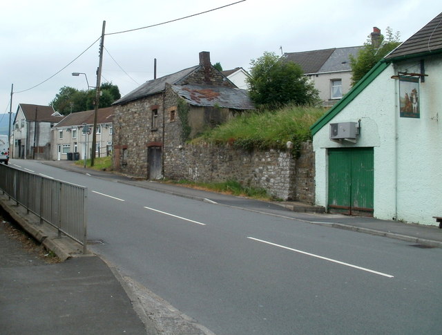
Image: © Jaggery Taken: 31 Jul 2011
Viewed from the edge of a bus stop opposite The Halfway House. http://www.geograph.org.uk/photo/1882362 Aberdare Road becomes High Street ahead. On the southern side of the road, out of shot, the pavement is below road level. http://www.geograph.org.uk/photo/3196012
Images are licensed for reuse under creativecommons.org/licenses/by-sa/2.0
Image Location
Latitude
51.74816
Longitude
-3.614785