Pavement below road level, High Street, Glynneath
Introduction
The photograph on this page of Pavement below road level, High Street, Glynneath by Jaggery as part of the Geograph project.
The Geograph project started in 2005 with the aim of publishing, organising and preserving representative images for every square kilometre of Great Britain, Ireland and the Isle of Man.

There are currently over 7.5m images from over 14,400 individuals and you can help contribute to the project by visiting https://www.geograph.org.uk
Pavement below road level, High Street, Glynneath
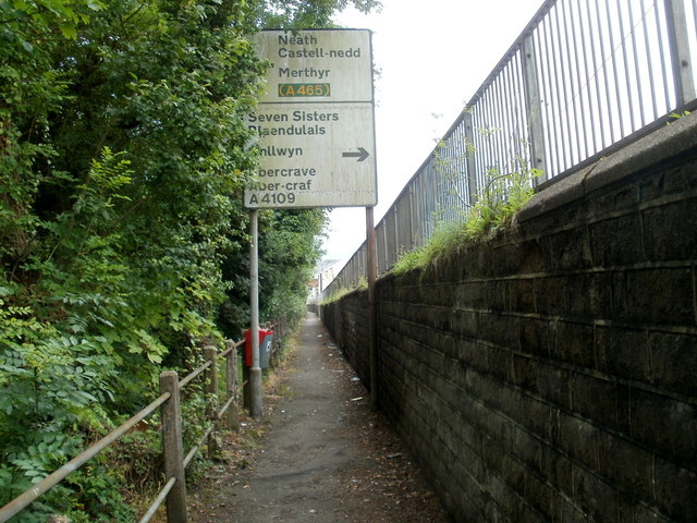
Image: © Jaggery Taken: 31 Jul 2011
The pavement on the south side of High Street, on the north bank of the River Neath, is a couple of metres below road level.
Images are licensed for reuse under creativecommons.org/licenses/by-sa/2.0
Image Location


Leaflet Map data © OpenStreetMap
Latitude
51.747972
Longitude
-3.615358