Pontneathvaughan Road and the B4242 diverge, Glynneath
Introduction
The photograph on this page of Pontneathvaughan Road and the B4242 diverge, Glynneath by Jaggery as part of the Geograph project.
The Geograph project started in 2005 with the aim of publishing, organising and preserving representative images for every square kilometre of Great Britain, Ireland and the Isle of Man.

There are currently over 7.5m images from over 14,400 individuals and you can help contribute to the project by visiting https://www.geograph.org.uk
Pontneathvaughan Road and the B4242 diverge, Glynneath
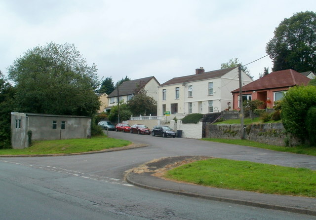
Image: © Jaggery Taken: 31 Jul 2011
For about 1500 metres from Pontneddfechan, the route of the B4242 has been Pontneathvaughan Road. Ahead their routes diverge. Pontneathvaughan Road houses are on the right. The B4242 is on the left.
Images are licensed for reuse under creativecommons.org/licenses/by-sa/2.0
Image Location
Latitude
51.749631
Longitude
-3.612375