The western edge of Shepshed
Introduction
The photograph on this page of The western edge of Shepshed by David Smith as part of the Geograph project.
The Geograph project started in 2005 with the aim of publishing, organising and preserving representative images for every square kilometre of Great Britain, Ireland and the Isle of Man.

There are currently over 7.5m images from over 14,400 individuals and you can help contribute to the project by visiting https://www.geograph.org.uk
The western edge of Shepshed
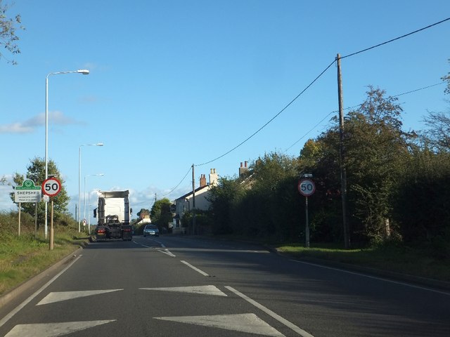
Image: © David Smith Taken: 16 Oct 2012
The road has painted patterns to reduce driver speed, followed by a 50 mph limit and a marked separation of the carriageways. If you can take all this in, you might notice the village name and that it is part of the National Forest. And then it is a Neighbourhood Watch area.
Images are licensed for reuse under creativecommons.org/licenses/by-sa/2.0
Image Location


Leaflet Map data © OpenStreetMap
Latitude
52.760286
Longitude
-1.307932