A512 in Coleorton
Introduction
The photograph on this page of A512 in Coleorton by David Smith as part of the Geograph project.
The Geograph project started in 2005 with the aim of publishing, organising and preserving representative images for every square kilometre of Great Britain, Ireland and the Isle of Man.

There are currently over 7.5m images from over 14,400 individuals and you can help contribute to the project by visiting https://www.geograph.org.uk
A512 in Coleorton
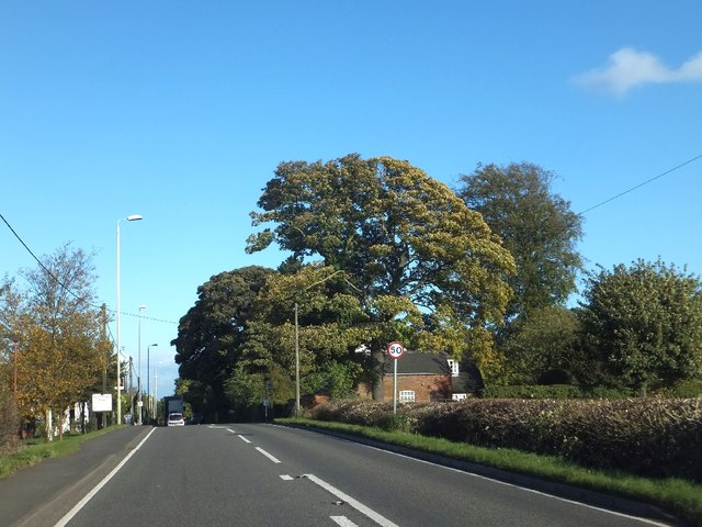
Image: © David Smith Taken: 16 Oct 2012
Some fine trees at the crest of the hill from Ashby
Images are licensed for reuse under creativecommons.org/licenses/by-sa/2.0
Image Location
Latitude
52.751348
Longitude
-1.400079