Community Fire Station, Ashton-under-Lyne
Introduction
The photograph on this page of Community Fire Station, Ashton-under-Lyne by John Topping as part of the Geograph project.
The Geograph project started in 2005 with the aim of publishing, organising and preserving representative images for every square kilometre of Great Britain, Ireland and the Isle of Man.

There are currently over 7.5m images from over 14,400 individuals and you can help contribute to the project by visiting https://www.geograph.org.uk
Community Fire Station, Ashton-under-Lyne
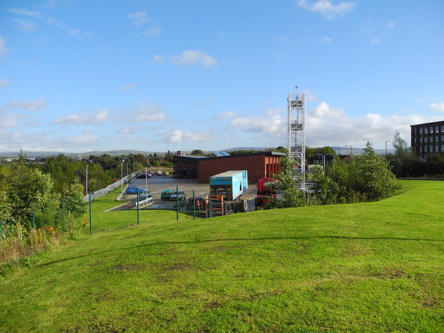
Image: © John Topping Taken: 17 Oct 2012
Actually stationed just inside Audenshaw on Slate Lane. This area used to be a three field small holding (named Woodbine Cottage) wedged between the two railway lines and Slate Lane.
Images are licensed for reuse under creativecommons.org/licenses/by-sa/2.0
Image Location
Latitude
53.477767
Longitude
-2.118691