Coleby Street
Introduction
The photograph on this page of Coleby Street by Richard Croft as part of the Geograph project.
The Geograph project started in 2005 with the aim of publishing, organising and preserving representative images for every square kilometre of Great Britain, Ireland and the Isle of Man.

There are currently over 7.5m images from over 14,400 individuals and you can help contribute to the project by visiting https://www.geograph.org.uk
Coleby Street
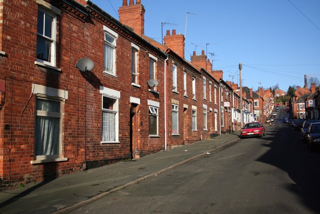
Image: © Richard Croft Taken: 23 Jan 2007
A typical street of terraced houses in the Monk's Road area of the lower city, built during the industrial expansion of Lincoln in the late 19th and early 20th centuries.
Images are licensed for reuse under creativecommons.org/licenses/by-sa/2.0
Image Location


Leaflet Map data © OpenStreetMap
Latitude
53.230735
Longitude
-0.521801