Lower greensand quarry, Westcott, 1965
Introduction
The photograph on this page of Lower greensand quarry, Westcott, 1965 by Derek Harper as part of the Geograph project.
The Geograph project started in 2005 with the aim of publishing, organising and preserving representative images for every square kilometre of Great Britain, Ireland and the Isle of Man.

There are currently over 7.5m images from over 14,400 individuals and you can help contribute to the project by visiting https://www.geograph.org.uk
Lower greensand quarry, Westcott, 1965
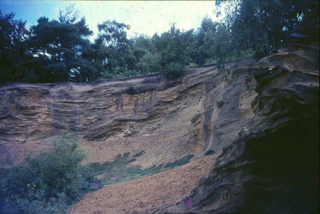
Image: © Derek Harper Taken: Unknown
In woodland at the western end of Westcott Heath, and visited as part of O level Geology fieldwork. The Greensand Way, following Footpath 163, passes by here.
Images are licensed for reuse under creativecommons.org/licenses/by-sa/2.0
Image Location
Latitude
51.223067
Longitude
-0.375781