New 11KV cable being buried along the edge of the recreation ground
Introduction
The photograph on this page of New 11KV cable being buried along the edge of the recreation ground by Peter Facey as part of the Geograph project.
The Geograph project started in 2005 with the aim of publishing, organising and preserving representative images for every square kilometre of Great Britain, Ireland and the Isle of Man.

There are currently over 7.5m images from over 14,400 individuals and you can help contribute to the project by visiting https://www.geograph.org.uk
New 11KV cable being buried along the edge of the recreation ground
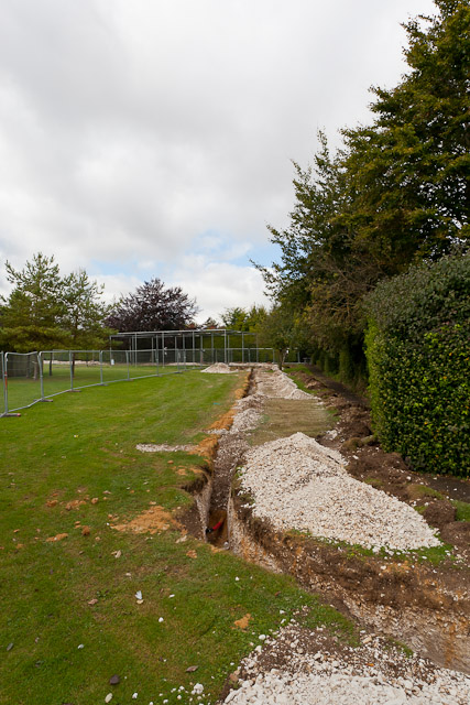
Image: © Peter Facey Taken: 27 Sep 2012
Images are licensed for reuse under creativecommons.org/licenses/by-sa/2.0
Image Location
Latitude
51.096439
Longitude
-1.296208