A lane in Clapton
Introduction
The photograph on this page of A lane in Clapton by Graham Horn as part of the Geograph project.
The Geograph project started in 2005 with the aim of publishing, organising and preserving representative images for every square kilometre of Great Britain, Ireland and the Isle of Man.

There are currently over 7.5m images from over 14,400 individuals and you can help contribute to the project by visiting https://www.geograph.org.uk
A lane in Clapton
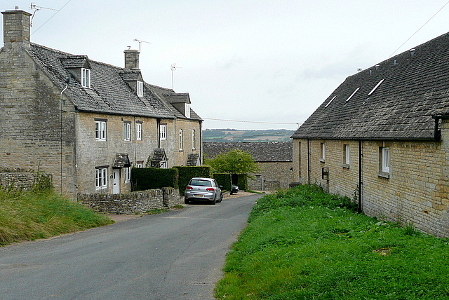
Image: © Graham Horn Taken: 12 Sep 2012
The lanes in Clapton-on-the-Hill don't appear to be named, but this is the dead-end lane to the north-east of the village past the church, which is to our left.
Images are licensed for reuse under creativecommons.org/licenses/by-sa/2.0
Image Location
Latitude
51.859451
Longitude
-1.764718